Routes
Routes on Lake Vänern

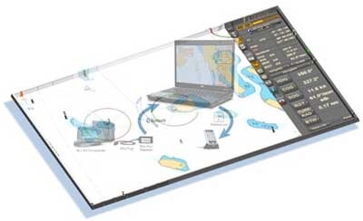
The Swedish Maritime Administration's ambition is to provide downloadable routes/plans for all of Sweden's pilotage stations and for the ports covered by pilotage services. Routes/voyage plans provided are those mainly used by pilots at the respective pilot location. The shipping industry is hereby given the opportunity to program their electronic chart systems with the same routes that the pilot for the port uses before calling at a Swedish port. Bridge officers and pilots then have identical routes/plans presented in their (often different manufactures) digital chart systems. The Swedish Maritime Administration considers this to be a safety-enhancing measure.
As the file formats for electronic chart systems do not yet have an international standard, for the time being the routes are delivered in Transa's rt3 file format and in rtz format. However, they are presented using a data table in Excel file format where other system users find data for manual entry.
Important information
The digital voyage plans should not be used as a replacement for regular charts and navigation, but only as a supplement to these. When using the digital itineraries and other information on these pages, for example ship type, weather and other traffic must always be taken into account.
The digital voyage plans are created based on available geographic information. The Swedish Maritime Administration takes no responsibility for inaccuracies in the itineraries or the information on these pages.
Last updated 2023-10-19